
Trace a Halfmoon Street by Address
Begin with a real street number whenever possible. The county’s PROS/GAR Pros property search accepts an owner name, property address, or tax ID/SBL, and it identifies the parcel that sits at that location. The result can show the owner, a mailing address, tax-map number, assessment details, photographs, comparable-sales tools, and map information. An owner’s mailing address can be useful, but it is correspondence information, not proof that the owner lives at the Halfmoon property.
Keep four labels separate as the search moves from one source to another: the street or situs address, the legal municipality, the postal city and ZIP, and the owner mailing address. Halfmoon streets can carry Clifton Park, Mechanicville, Round Lake, or Waterford postal labels. Matching the SBL and legal description prevents a postal label from sending a by-address search to the wrong parcel.
- Search the property address in PROS/GAR Pros and record the SBL, situs, owner, owner mailing address, and any deed reference.
- Use the Halfmoon BAS tax-bill search to check the tax-map number and a collection year. For a whole road, BAS instructs users to enter only the street name and leave the other fields blank.
- Open the county map viewer, locate the same parcel, and note adjoining parcel geometry before making any owner comparison.
- Search the owner as a grantee in the county deed index, then match the legal description, lot, map, and recording date.
- For a past address, consult dated directories, census material, and town historical series instead of treating a current parcel record as a household list.
Note: A street-by-street review identifies public parcel evidence first, then tests each name against the correct parcel and time period.
Halfmoon Street Directory BAS Sweep
The BAS tax-bill tool is the practical first pass for a named road in Halfmoon. Its documented street-search instruction is unusually useful: omit Road, Drive, or Court, enter only the street name, and leave the other fields empty. The returned street list is arranged in alphabetical owner order. Treat it as a tax and parcel list, not a list of everyone at an address. One person can own several parcels, one parcel can have multiple owners, and a mailing address may be elsewhere.
The Halfmoon BAS tax-bill search shows the address-oriented entry point used for a street sweep.
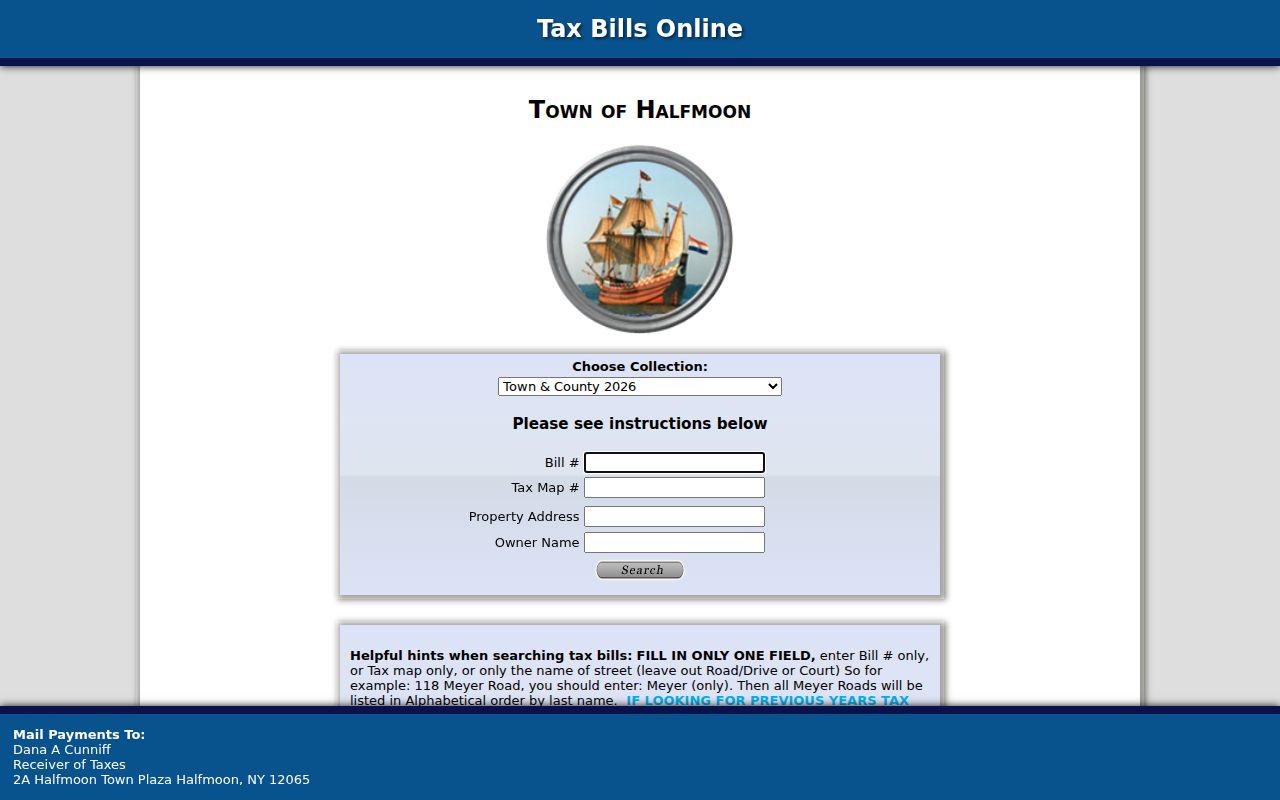
Use the resulting tax-map number as a stable bridge to PROS, the assessment roll, the map viewer, and the deed trail.
Halfmoon Street Parcel Fields
PROS/GAR Pros is Saratoga County’s current public parcel system. The county announced that it replaced SDG Image Mate Online on September 30, 2025, while retaining the stated functions. The address-search value is not just the owner field. The parcel location, class, account number, school district, land dimensions, exemptions, special districts, and any carried deed reference help distinguish two similar addresses or owners with the same name.
| PROS field or control | How it helps a street search | Documented use |
|---|---|---|
| Owner/name | Finds a titled owner across county parcels | Optional name search confirmed by county FAQ |
| Property address | Targets the situs on a Halfmoon street | Optional address/property-location search |
| Tax ID/SBL | Connects map, roll, and deed records | Optional exact parcel identifier |
| Notes tab | Provides county-described map information | Review after choosing the parcel |
| Tax maps, photos, tax data | Adds parcel context without proving occupancy | County-described record views |
PROS does not document a public ZIP-wide search mode. For a whole street, use its property-address results together with BAS and the map rather than assuming a postal label defines a municipal boundary.
Halfmoon Streets: Situs and Map
A situs address is the physical parcel location. The mailing address is where the owner receives tax correspondence. These often differ, especially when a property is held by an estate, a business, or an owner who lives elsewhere. The 2014 official Halfmoon assessment-roll example for Tabor Road includes an owner address in Round Lake while the parcel location remains in Halfmoon. A careful street-search entry must never turn that correspondence address into an occupancy claim.
The Saratoga County Map Viewer supplies the geometry needed to test the street sequence. Search or zoom to the parcel, click its polygon, retain the SBL and owner link, then pan along the road and repeat. The research did not confirm a public radius, export, or buffer control, so map browsing and separate PROS confirmation are the documented methods.
- Parcel
- A defined piece of land in the tax system, usually tied to an SBL or tax-map number.
- Situs address
- The physical property location used by assessor, GIS, permit, and planning records.
- Plat or subdivision map
- A recorded map that can connect a modern lot and road to an earlier parent parcel.
- Criss-cross directory
- A reverse directory arranged by address or street, when a volume includes that section.
Note: Map geometry confirms that parcels adjoin a street, while the recorded documents establish the legal parties and dates.
Halfmoon Street Records to Deeds
The Saratoga County Clerk’s SearchIQS index is the next step after a parcel is anchored. County land records are stated back to 1791 and a free account is required online. Search by the indexed party, not only by a street address. A current deed names the grantor or seller and grantee or buyer and may include the legal description, book and page or document number, consideration, and filing date. Those fields make it possible to reject a same-name hit.
The County Clerk records page is the source for the clerk’s land and court access routes.
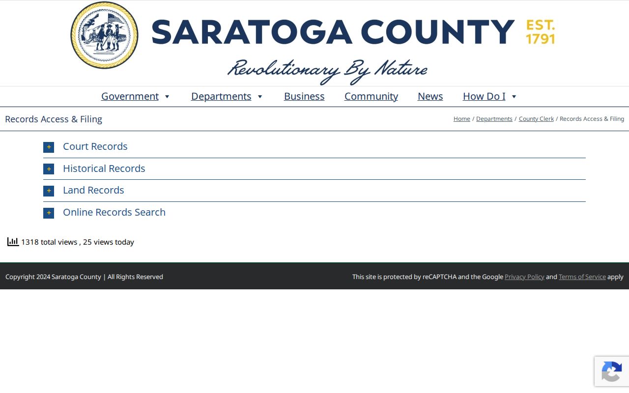
When an older item is difficult to locate online, use county-clerk counter research or public computers. The county does not state that every document from 1791 is imaged or searchable in every field.
Halfmoon Street Planning Files
Address-keyed planning material can explain a road, subdivision, site plan, zoning change, or construction project. The Halfmoon Planning Department and its public minutes and applications are useful for that context. Building permits and code files can identify an applicant, work type, certificate, or date, but no public searchable Halfmoon permit index was found in the research. Request a known address and time range through Building or Code Enforcement, the counter, or a town FOIL request.
The planning department page shows the municipal source for address and subdivision material.
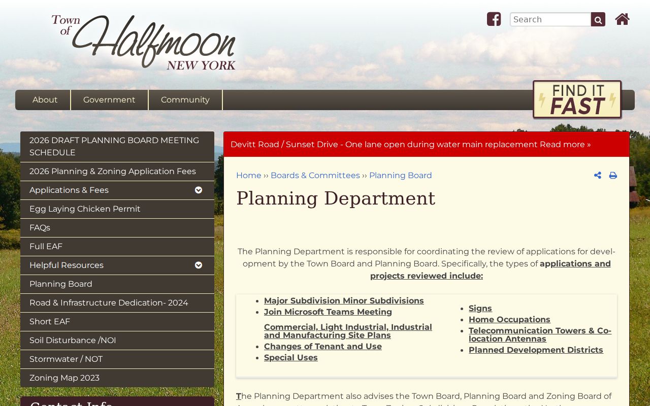
Planning and permit papers provide a dated property history. They do not, by themselves, establish who currently occupies a home.
Halfmoon Street Directory Record Trail
No single Halfmoon record answers every street question. The sources below are keyed to an address, parcel, party, or street, but their meaning is different. Work from the parcel outward and record the source date. That habit keeps an assessed owner, a past deed party, and an old directory occupant from being merged into one unsupported household record.
| Address-keyed source | What it can show | Access route |
|---|---|---|
| PROS/GAR Pros | Owner, mailing address, assessment, inventory, photos, and tax context | Public county web search |
| BAS tax bills | Bill, property address, owner, tax map, and collection year | Town web search; street-only hint |
| County map viewer | Parcel geometry, SBL, roads, and adjoining parcels | Public map browse |
| SearchIQS deeds | Grantor, grantee, legal description, maps, liens, and dates | Free account, counter, and copy options |
| Planning and code files | Applications, work, road or zoning context, and dates | Minutes, counter, or FOIL when no index exists |
| Reverse directories | Historical street and occupant clues where a volume has a street section | Library microfilm and local-history browsing |
For a tax or map correction, the Town of Halfmoon Assessor is the local contact. Saratoga County Real Property Tax Service maintains tax maps and rolls. A county fee schedule lists public-copy options through the County Clerk when a document image is needed.
Halfmoon Streets Before Today
Older street occupants are often found through regional rather than town-named volumes. The Clifton Park-Halfmoon Public Library Local History Room has maps, clippings, census microfilm, local histories, and school materials. The New York State Library holds Saratoga County directories for 1870/71 and 1890, Saratoga Springs directories for 1872-1944 and 1946, and selected telephone books. Those regional runs can supply a useful clue, but they are not a complete Halfmoon roll.
Use both the alphabetical and reverse sections when available. Search the street with its postal city and historic hamlet names such as Newton, Smithtown, Crescent, or Middletown. The historical collections themselves are described in more detail in the Halfmoon city directories collection.
Note: A dated directory can support an address clue, but the original volume’s year, post-office heading, and section type should remain with the note.
Halfmoon Street Search Tool Change
Older bookmarks may still point to the prior assessment interface. Saratoga County’s 2025 notice says GAR Pros replaced SDG Image Mate Online while the stated functionality remained the same. The county clerk also records more than 85,000 documents each year and says it has digitized more than 25 million documents, a useful reminder to date each search and verify a record against the custody source.
The County Clerk FAQ and online-record guidance shows the account-based access path for recorded material.
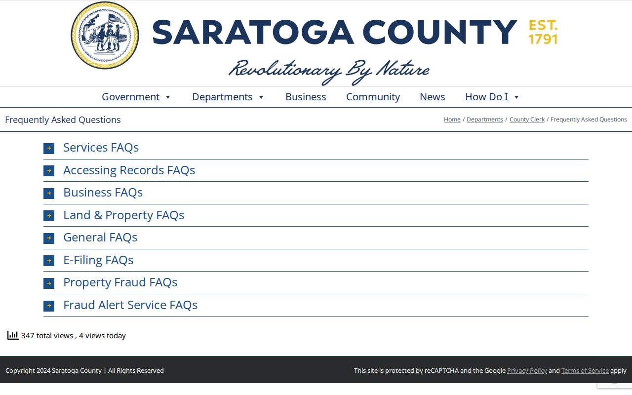
Halfmoon’s official notices also point residents to Saratoga County’s free Property Fraud Alert service, which sends an email when a document is recorded under a registered name. It is an alert, not proof that every recording is fraudulent.
Halfmoon Street Search Limits
A Halfmoon by-street search can identify public parcels and named legal parties, but it cannot produce a complete household roll. Private utility customers, DMV address data, unrecorded occupants, protected voter registrations, and Address Confidentiality Program participants are not ordinary street-search results. New York’s public voter lookup also requires a named person, date of birth, county, and address or ZIP. It is not a public street browser.
When an online result is missing, use the documented fallback: confirm the parcel through the assessor or map, consult the County Clerk counter for older land material, request address-specific planning or code files through FOIL, and ask the library, town historian, or county historian for dated local series. A no-result is not proof that a person never lived on the street.
Historic street work has another local limit. Waterford separated from Halfmoon in 1816, Clifton Park in 1828, and Mechanicville in 1910. An old deed, map, or directory may therefore place a property under a broader Halfmoon geography that no longer matches the town boundary. Compare the historical municipality, postal heading, legal description, and modern SBL before treating two address references as the same place.
Halfmoon’s 1853 Great Fire also destroyed most town records. The earliest minute books survived, but an early street trail may have a genuine records gap. Ask for surviving town series, county land records, maps, or census material rather than filling that gap with an assumption.
Lawful use. Halfmoon address records support personal, lawful research and property history. Do not use a name, address, or parcel result to stalk, harass, intimidate, or harm anyone.