
Halfmoon ZIP Routes
Halfmoon uses four documented postal routes. The town’s 2015 meeting minutes list 12065, 12118, 12151, and 12188, including overlaps with Clifton Park and Waterford. Postal routes are delivery labels, not a substitute for the legal municipality shown in assessment, map, or deed records. A ZIP search should therefore retain the town, postal city, street address, and parcel identifier as separate facts.
| Postal route | Halfmoon area or local example | Preferred postal city | Directory caution |
|---|---|---|---|
| 12065 | Central and western addresses, Route 9, Route 146, and Town Plaza | Clifton Park | Its preferred city does not change a Halfmoon situs |
| 12118 | Parts of Halfmoon near Mechanicville and Route 9 | Mechanicville | A business label can differ from the parcel municipality |
| 12151 | Round Lake route and nearby eastern or southern addresses | Round Lake | The route also serves neighboring towns |
| 12188 | River and southern locations, including Waterford-facing sites | Waterford | Town facilities can use this postal city while remaining in Halfmoon |
Use the USPS address lookup for a specific delivery address. The local four-route record is the strongest town-level coverage found, while USPS is the address-level authority.
Halfmoon ZIP Code Directory Labels
The Halfmoon ZIP code directory is most reliable when it searches each local postal label, not just the word Halfmoon. Clifton Park is the preferred city for 12065. Mechanicville appears on 12118 addresses inside the town. Round Lake and Waterford can appear on 12151 and 12188 material. Older directories and newspapers may file a resident under the post office rather than the municipal name, and the historical hamlets Newton, Smithtown, Crescent, and Middletown are useful extra terms.
A modern parcel record, an old directory entry, and an obituary can all be accurate while using different place labels. Preserve the source’s wording, then match it to an SBL, legal description, or current street location instead of silently standardizing every result.
Note: A postal city is a search key for Halfmoon records, not a ruling on which town governs the address.
Halfmoon ZIP Directory: 12065
Route 12065 is the dominant Halfmoon route in the local evidence. It covers central and western Halfmoon addresses, including the Route 9 and Route 146 corridors and Town Plaza, but the preferred postal city is Clifton Park. That distinction matters when a tax list, business reference, or old address search looks outside Halfmoon even though the parcel’s legal town is Halfmoon.
Use the county’s PROS/GAR Pros search to verify the parcel’s property location and tax ID/SBL. Its documented modes are owner/name, property address, and SBL, not a ZIP-wide filter. The result provides the property-record context that a postal route cannot supply.
| Record field | What it means in a ZIP search | Safe use |
|---|---|---|
| Property address or situs | Physical parcel location | Compare it with the legal town and SBL |
| Owner mailing address | Tax correspondence destination | Do not treat it as occupancy proof |
| Tax ID/SBL | Stable parcel identifier | Bridge to map, roll, and deed records |
| Postal city and ZIP | USPS delivery label | Use as a search variant, not a boundary line |
Halfmoon ZIP Route Mismatches
Three other routes demonstrate why an address needs more than a ZIP label. A Halfmoon planning-minute example uses 12118 near Mechanicville. The official assessment-roll example for Tabor Road uses a Round Lake 12151 owner address. Waterford 12188 is used at river and southern Halfmoon locations, including the Senior Center and Lighthouse Park. These are documented postal patterns, not mistakes to correct away.
Search the legal town plus the postal city. For historic material, repeat the search with the hamlet or older boundary name. Waterford separated from the older Halfmoon territory in 1816, Clifton Park in 1828, and Mechanicville in 1910. Earlier deeds, censuses, or directories can therefore describe a broader historical Halfmoon than a current town map.
The Census ZIP Tabulation Area reference material illustrates the statistical geography often confused with postal delivery routes.
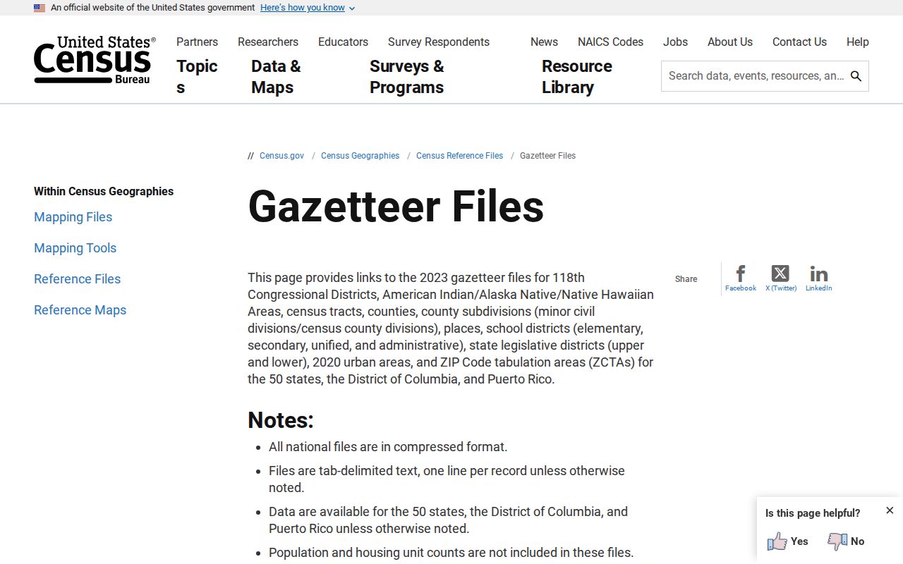
A Census ZCTA is based on census blocks and is not the same thing as a USPS ZIP delivery polygon. Use USPS for the actual address route.
Search Halfmoon Residents by ZIP
A Halfmoon ZIP search narrows an address question, but the local public portals do not offer a public roster for everyone in a route. PROS supports name, address, and SBL searches. BAS supports bill number, collection year, tax-map number, property address, and owner name, and documents a useful street-only search. The voter site uses ZIP as one part of a named person’s search, not as a ZIP roll.
- Verify the full delivery address with USPS and record the preferred postal city.
- Run the street or known owner in PROS and compare the property location, mailing address, and SBL.
- Use the Saratoga County Map Viewer to inspect parcel geography, municipal context, and adjacent parcels.
- Check BAS for the tax-bill year or a street sweep, remembering that it does not advertise a ZIP filter.
- For a named individual, use the official voter lookup only with the required person-specific information and never as a ZIP-wide list.
Once the postal route has narrowed the area, the Halfmoon street directory gives the address-level parcel and deed workflow.
Halfmoon ZIPs and Voting Districts
Election districts and postal routes solve different problems. The NYS voter lookup requires last name, first name, date of birth, county, and address information, with ZIP as a field in the individual search. Its public result is for registration, poll-site, and ballot-tracker context. It does not create a public list of residents in 12065, 12118, 12151, or 12188.
The Saratoga County election-district maps are a better source for district geography. Boundaries can change after redistricting, so use the current map for current voting context and an archival map for earlier years.
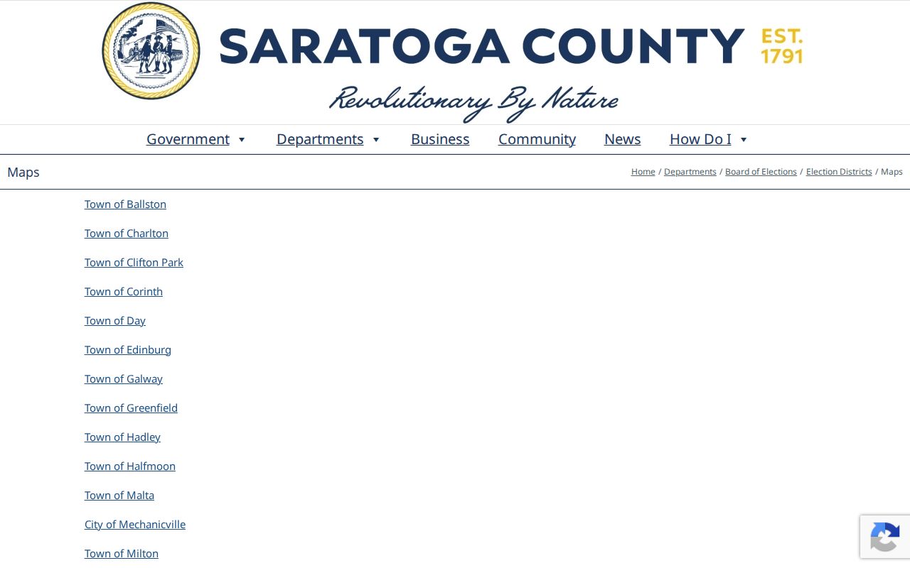
Keep a precinct or district on a different line from ZIP notes. One is election geography; the other is postal routing.
Halfmoon ZIP Tax Records
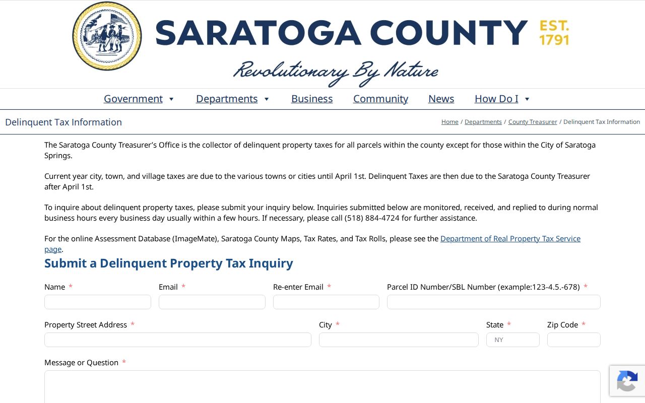
Property-tax and delinquency material can add a parcel status trail, but it remains parcel information rather than a resident directory. Saratoga County’s delinquent-tax inquiry asks for contact information along with a Parcel ID/SBL, property street address, city, state and ZIP, and a message. County collection begins after April 1 under the cited county instructions. Use the actual address and parcel identifier when requesting help.
The Saratoga County delinquent-tax inquiry shows the address and ZIP-capable request route.
A delinquency or foreclosure filing can identify named parties and process dates. It does not establish current occupancy at the address.
Note: Use an SBL and street address together when a Halfmoon postal label could match more than one local jurisdiction.
Halfmoon ZIP Boundary Limits
The practical boundary question has four parts: situs, owner mailing address, legal description, and postal city with ZIP. An assessor and GIS record key the first to the parcel. A tax roll may carry the second. The recorder’s deed and plat use the third. USPS governs the fourth. A ZIP-focused Halfmoon search is strongest when all four are retained instead of being flattened into one address.
- ZIP and ZIP+4
- A ZIP identifies a delivery area. ZIP+4 adds a smaller routing segment for a more exact mail address.
- PO-box ZIP
- A postal code used for post-office boxes, which may not describe the location of a parcel or household.
- Unique ZIP
- A code assigned to one organization or large mail receiver, not a general municipal boundary.
- Carrier route
- A mail-delivery sequence inside a route. It is not a town-limit or parcel-ownership record.
When a portal fails or the ZIP is unclear, call the town assessor for local assessment questions, use the county map or PROS record for situs, and verify delivery labels through USPS. Historical questions may also need the library or county historian because directories often follow post offices.
Postal limit. A Halfmoon ZIP can focus an address search, but it cannot prove who resides at a parcel or how a person is connected to it.
Halfmoon ZIP Address Updates
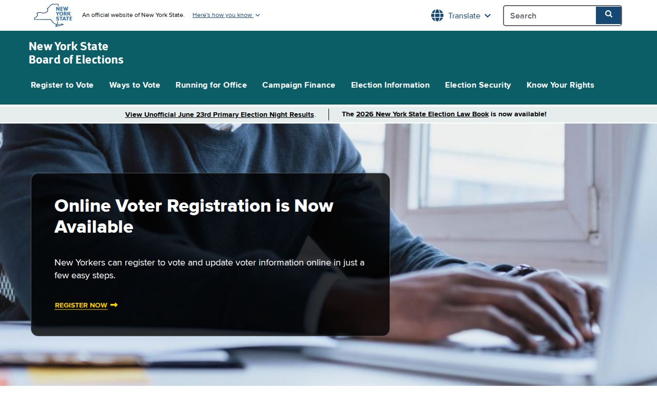
For a voter who needs to change a registration address, use the official state registration route and the Saratoga County Board of Elections process. The county handles registration, name, and address changes; its instructions direct an address change to the designated form field and require a new form for a name change. That is an official maintenance channel, not a general resident lookup.
The New York voter registration and address-update gateway shows the state route.
A missing voter result can reflect entered information, eligibility, confidentiality, or a maintenance status. It is not proof that a person has no connection to a ZIP route.
For records from an earlier decade, search more than the present ZIP label. A directory compiler might have used a post-office name, while a census or deed may use a hamlet or the older Halfmoon boundary. Keep 12065, 12118, 12151, and 12188 in the research notes with the postal-city variants, then confirm any apparent match through the parcel’s legal municipality and description.
No Halfmoon ZIP split or realignment history was located in the research. The town’s 2015 minutes instead document the four-route problem as a practical mailing issue. Verify a live address through USPS, then retain the date of that result because postal preferences and database labels can change.